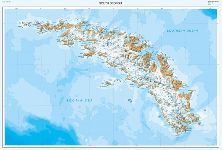
The cartographers at British Antarctic Survey (BAS) have re-produced a high-resolution updated map of the sub-antarctic island of South Georgia. The island, situated at 37°W 54°10’S is a haven for wildlife, a centre for wildlife and fisheries research and famous for the epic voyage by Sir Ernest Shackleton and his men in May 1916. Continue reading NEW MAP: South Georgia and the Shackleton Crossing
Category: Mad About Maps
All about cartography, a collection of articles on and around maps and mapping.
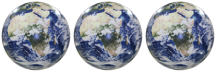
Mappy Monday: Earth from Space
This is a favourite new addition to our galaxy of globes (yes, we decided that the collective noun for globes is a galaxy).
Using NASA satellite images of Earth from space, this inflatable globe is unlike the physical and political globes we are used to seeing. Just look at the swirling atmospheric cloud cover. Continue reading Mappy Monday: Earth from Space

Our five favourite Moon products for Moon Day
“One small step for man, one giant leap for mankind.”
On this day in 1969, Neil Armstrong uttered those words as he and Buzz Aldrin became the first humans to set foot on the moon following the landing of Apollo 11. Here are our top 5 moon products: Continue reading Our five favourite Moon products for Moon Day

Get out and explore London’s Rivers
It’s London Rivers Week this week and the whole city is encouraged to get out and explore rivers. Whether its the mighty Thames or the humble hidden Walbrook that inspires you, we’ve got all you need to make the most of the rivers London has to offer. Continue reading Get out and explore London’s Rivers
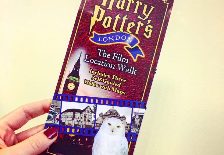
Mappy Monday: Harry Potter’s London
Can you believe it’s been 20 years since Harry Potter and the Philosopher’s came out?
If you’ve read the books and seen the films, you might want to go on a tour of London looking for the Central London locations featured in the films. Continue reading Mappy Monday: Harry Potter’s London

Know your boundaries
As cartographers, we’ve been providing Parliamentary Constituency maps for decades. Political parties request custom maps so that they can see their wards and constituencies for different regions. Continue reading Know your boundaries
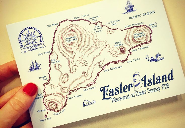
Happy Easter Island
Easter Island (also known as Rapa Nui and Isla de Pascua) is one of the most remote inhabited islands in the world. The nearest continental land mass is over 3,700 kilometres away.
The Dutch explorer Jacob Roggeveen landed on the Island on Easter Sunday in 1722 and gave it its European name. Continue reading Happy Easter Island
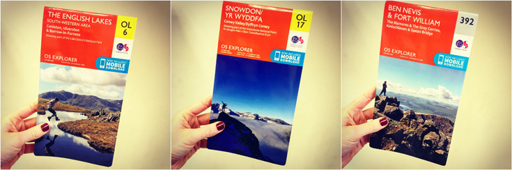
OS Walking Map Offer
We’ve gained a whole extra hour of daylight and are thinking of retiring our coats in favour of jackets. To celebrate this sudden turn of events we have a 3 for £20 offer on all Ordnance Survey walking paper maps so you can spend as much time as possible outdoors as possible. Continue reading OS Walking Map Offer

Mercator vs Peters. The battle of projections
There was some big news in the map world last week as schools in Boston began to replace Mercator projection maps for the more proportionally accurate Peters projection (read the full article here). Continue reading Mercator vs Peters. The battle of projections
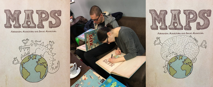
Uniquely signed Maps books by the Mizielinskis
We often get visits from authors who kindly sign their books for us. In fact we have lots of books in our stores that are signed by authors including Michael Palin and Levison Wood. Continue reading Uniquely signed Maps books by the Mizielinskis