“This is the story of drink maps, and it’s probably not what you think”
Last week we were joined by Kris Butler for a fascinating exploration of the history of alcohol in Victorian Britain via the ‘drink maps’ that were produced by the temperance movement to promote sobriety.

It’s not about pub crawls or plotted ale trails. Instead, these are maps with an agenda that was adamantly hostile to drinking alcohol, made by an organized faction known as the Temperance Movement. The logic at the time of the maps’ creation went as follows: if people are shown how many places there are to buy alcohol, they will be so appalled that they will join the effort to end drinking. In hindsight this logic is obviously flawed.’
Drink Maps in Victorian Britain explores how drink maps of cities were published to fight increasingly rampant alcohol consumption, from Liverpool,Manchester and Sheffield to Oxford, London, and Norwich.
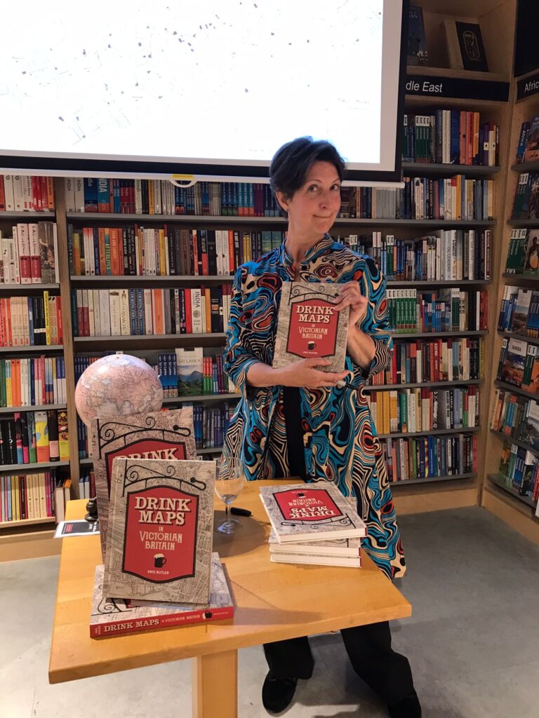
Featuring red symbols to indicate where alcohol was sold, these special street maps were posted prominently in public places, submitted as evidence, sent to Members of Parliament, and published in newspapers to show just how inebriated a neighbourhood could be. They promoted the message that having fewer places to buy alcohol was the answer to reducing widespread crime, poverty, and sickness. And they worked – at first. After consulting a drink map in one town, judges decided to close half the licensed shops because even then no one had to walk more than two minutes to buy a beer (!).
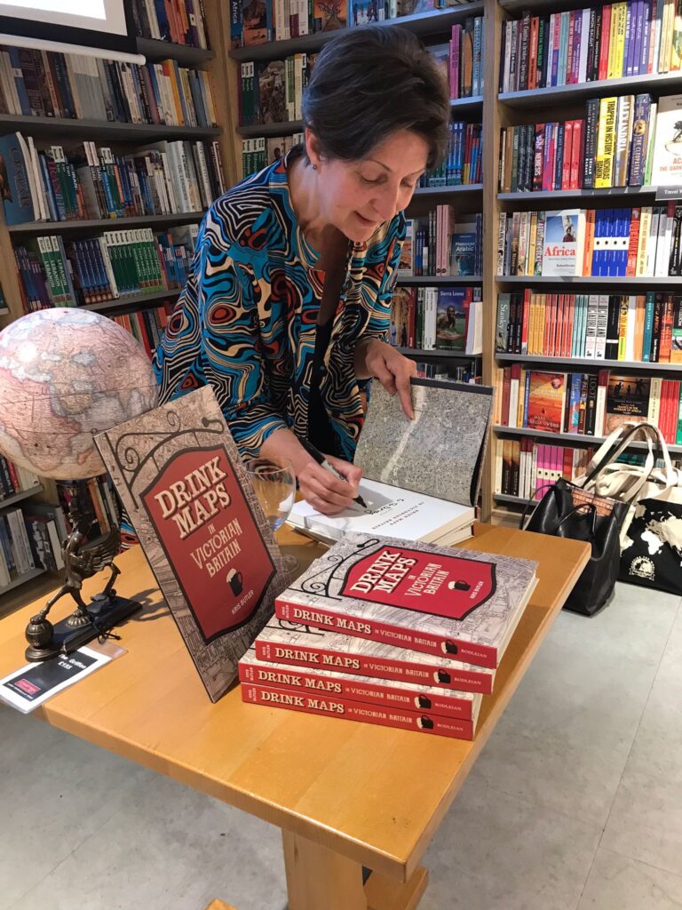
Illustrated with original maps, advertisements and temperance propaganda, these historical documents, and the stories and characters behind them, give us intriguing insights into the complex role alcohol played across all levels of Victorian society. They shine a light on drinking habits, the development of licensing laws and the tactics of the temperance movement in Victorian Britain.
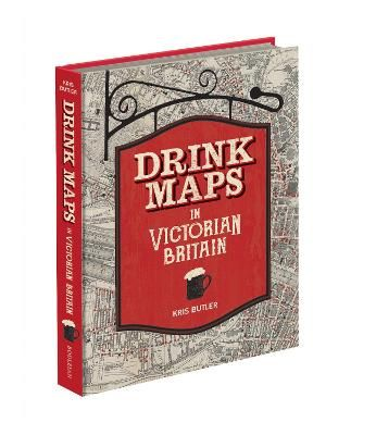
Drink Maps in Victorian Britain is available now for £25.
About the Author:
Kris Butler is a lawyer, past president of the Boston Map Society and currently serves on the board of the Washington Map Society. She is also an award-winning home brewer and a contributor to MAP: Exploring the World (Phaidon). She has given numerous talks about drink maps, including at the International Conference on the History of Cartography in Amsterdam and at Harvard University in the US.
You can read a guest blog post from Kris Butler where she goes into more detail on one of the maps featured in this book.