A brand new atlas of walking routes connecting all of Britain’s towns, cities and national landscapes by Slow Ways CIC and Urban Good.
Discover a network of over 9,000 walking routes connecting all of Britain’s towns, cities and national landscapes. This bright and beautiful new collection of maps shows every Slow Way route in Great Britain, which between them join up 2500 settlements via 130,000km of existing paths, lanes and trails. Use the pocket atlas to dream of journeys. Colour in where you’ve been or where you’d like to go. This pocket atlas has been made thanks to thousands of people. Contributors have volunteered hundreds of thousands of hours plotting, walking, wheeling, testing and reviewing the routes. In this atlas you can find out more about the Slow Ways movement, how it is changing what we think is possible, and creating a network of connection and joy!


The creator
Urban Good CIC and Slow Ways CIC have worked together on mapping the new walking network from the start. Their existing maps have a popular and unique style to highlight the routes. Both organisations are Community Interest Companies.

Slow Ways Pocket Atlas is available for pre-order now for £12.99
Available in store from 24th October
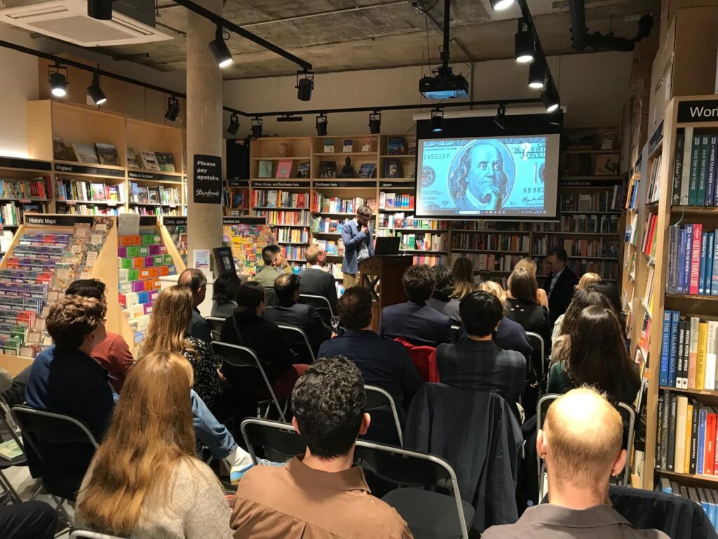
Slow Ways Pocket Atlas Launch
Tuesday 22nd October19:00 – 20:30.
Stanfords London, 7 Mercer Walk, Covent Garden, WC2H 9FA

We invite you to join us for the official launch of the Slow Ways Pocket Atlas. The evening will feature talks from Hannah Engelkamp, Daniel Raven-Ellison, and Charlie Peel, who will share the stories behind the making of this atlas and the powerful movement that connects over 2,500 towns and cities through over 9,000 walking routes.
Tickets £7 Includes glass of wine/soft drink and a discount off the book when purchased on the evening. Buy tickets here.