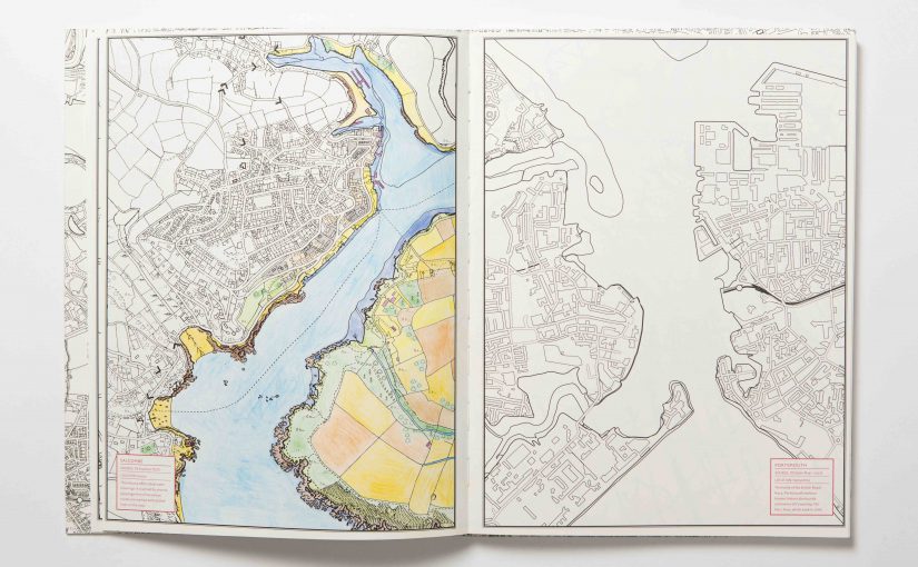
Yes, it’s National Map Reading Week, but in between reacquainting ourselves with how to use a compass and such, we like to relax with a little colouring in – why not join us and download two maps to colour in yourself?
Earlier this week we shared with you The Great British Colouring Map: A Colouring Journey Around Britain – a brilliant new book of Ordnance Survey mapping with all the colour stripped away so you can let your imagination run riot.
Since then, we keep getting distracted by those beautiful black and white maps, calling out to be scribbled on with our colouring pencils. It’s not been the most productive week, we’ll admit it, but boy, has it been fun!
To give you a taster, we’ve got two maps for you to download and colour in for yourself – just click on the links at the bottom of the post.
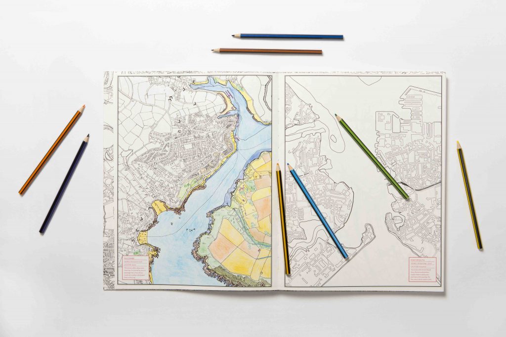
You can choose to print and colour in Ordnance Survey maps of Canterbury Cathedral or the city of Edinburgh. Let us know how you get on – and share your pictures with us on Facebook or Twitter!
Mappy colouring in!
There are many more maps to be found in the book itself – including historical locations across England, Scotland and Wales via plus a huge double size fold out map of central London and the Thames to complete.
The Great British Colouring Map: A Colouring Journey Around Britain £19.95