
It’s National Map Reading Week, which is basically Christmas for us here at Stanfords.
“Being able to read a map is a hugely useful skill. Understanding how a flat piece of paper can show the real world helps improve spatial awareness in children, and is a critical life skill for adults.” –Ordnance Survey
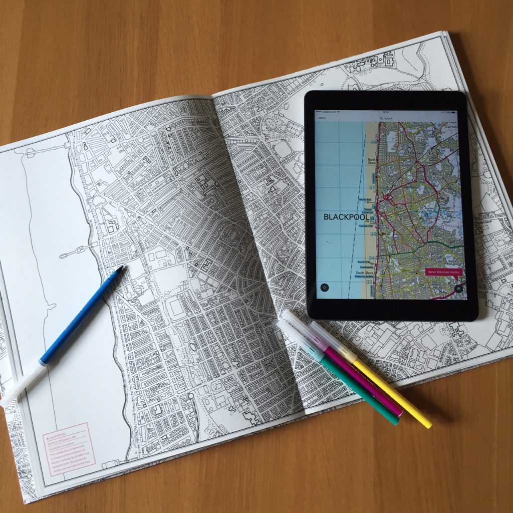
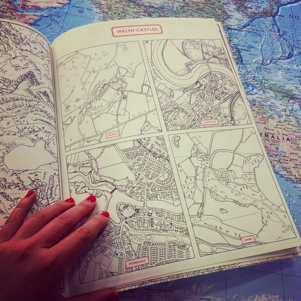
The Great British Colouring Map: A Colouring Journey Around Britain is based on official OS maps including both country and city areas in a variety of scales. The 55 maps include recognisable tourist spots and historic locations around Britain including the Norfolk Broads, Berwick-Upon-Tweed, Bakewell, Loch Lomond, York Minster, and Canterbury Cathedral. There are also split pages of Scottish islands, Welsh castles, English piers and a four-page pull out of central London and the Thames.
Do try to stay in the lines.
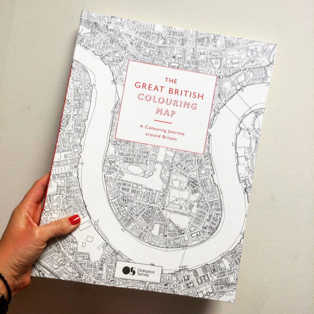
The Great British Colouring Map: A Colouring Journey Around Britain £19.95