This coming Monday, the Royal Geographical Society delves into their archives to share contemporary maps covering not just the well-known battles but also some more obscure areas of conflict, including Togoland, Tanganyika Territory, Tsing-Tau and the Trans-Caspian Theatre.
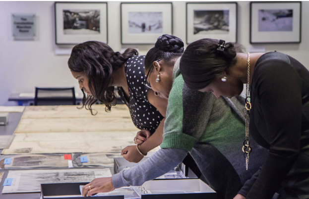
The RGS-IBG holds one of the largest private map collections in the world, with 1 million sheets of maps and charts and 3,000 atlases. On the 26th September, a special collection of World War maps will be on display for Society members and the public to view, with an informed talk by Society staff.
For full details of the event, World War maps: beyond the trenches of the Western Front, or to book a place, visit the website rgs.org/WhatsOn