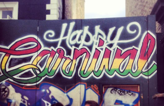
It’s the August bank holiday, or as it’s know in West London; Carnival time. If you weren’t aware of this and thought you’d go down to Portobello Road and casually peruse the stalls, you’re in for a shock.
While the area is celebrating Caribbean culture with one of the world’s largest street festivals we thought we’d show you a couple maps that show the area in 1871 and 1893.
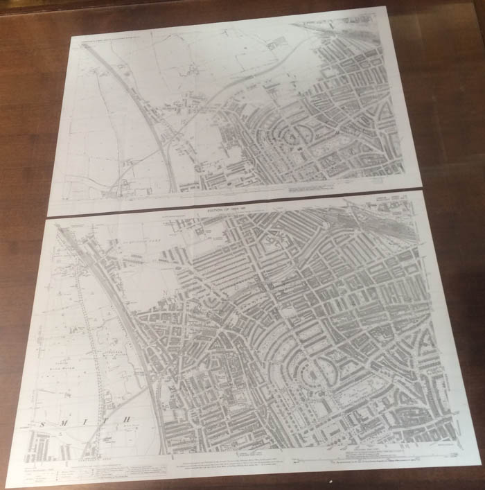
From The Godfrey Edition, these old Ordnance Survey maps show just how much this area of the capital developed in just 22 years.
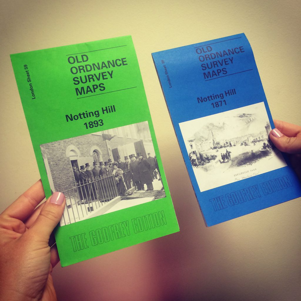 Notting Hill 1893 £3.50 and Notting Hill 1871 £3.50
For more Great Britain and Ireland: Godfrey Editions of Historical Ordnance Survey 25″ Street Plans see HERE.