Did you know we have a whole maritime department here at Stanfords? We have navigational charts, nautical books, cruising guides and lots of gifts for boating enthusiasts. Here are some recommendations of gifts, books, guides and charts from our Maritime Department:
Gifts
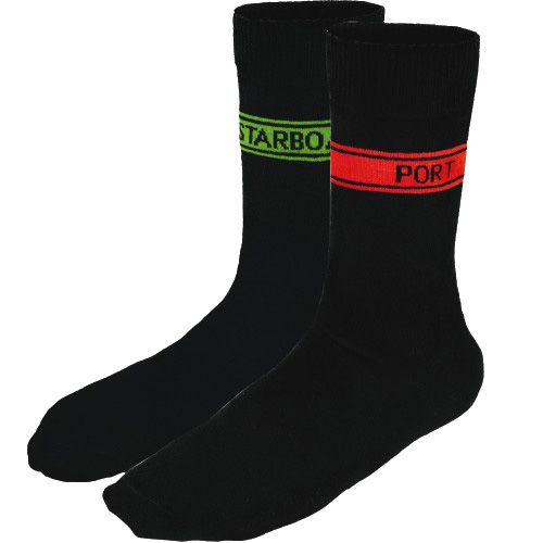
Nautical Port & Starboard Socks
£8.99
For the directionally challenged! Black Colour coded socks to identify Port (red) and Starboard (green). 80% Cotton.
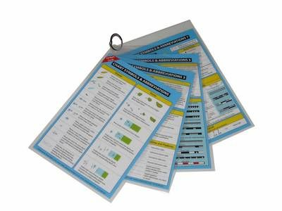
Chart Symbols and Abbreviations – Cockpit Cards
£11.95
4 double sided A5 cards of crisp and clear images, printed using light-fast ink and encapsulated with a heavy duty plastic for cockpit use and abuse. Grouped together in one corner so that any sheet may be removed for individual use if required.
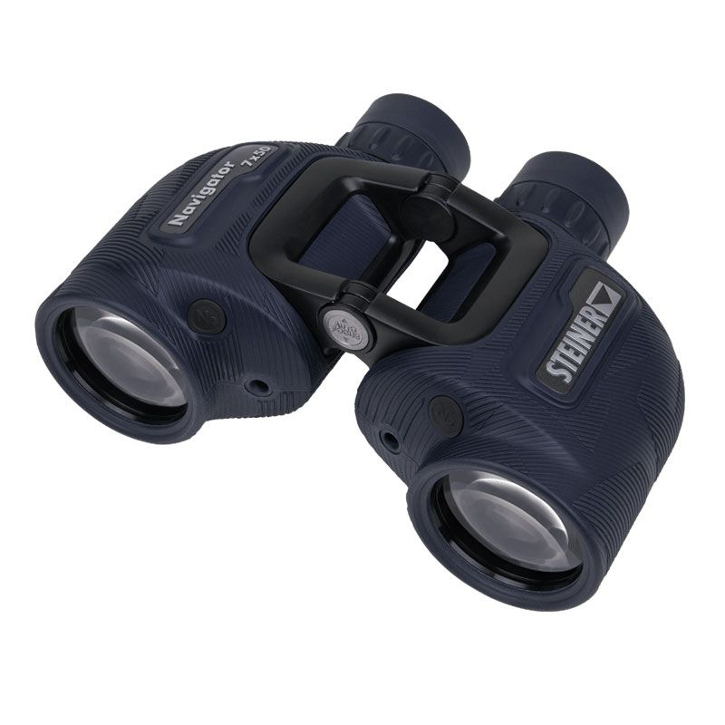
Steiner Navigator 7×50 Binoculars
£529
The Navigator with 50mm lens diameter and 7x magnification offers a stable image even in rough seas as well as guarantees bright images with excellent contrast and sharpness of detail in the dark.
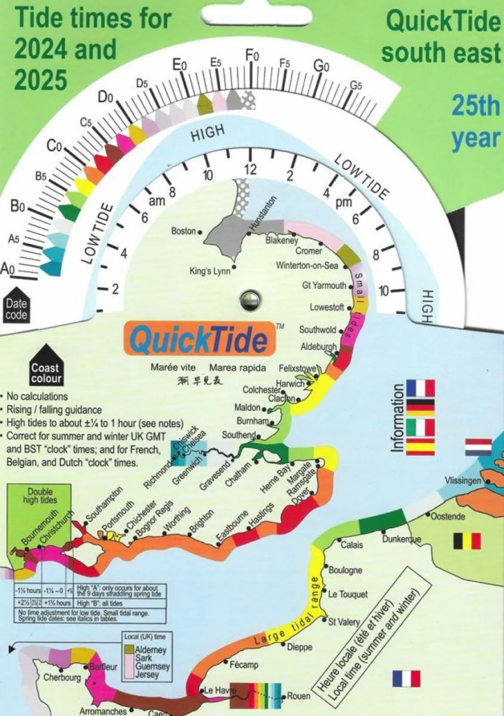
QuickTide South East 2024 & 2025
£11
Allow for quick and intuitive determination of tide times for a particular date and place. QuickTide South East covers the coast of South-East England and Belgium to Cherbourg. Other regions also available.
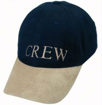
£11.99
100% cotton twill material, with a sweat-resistant hem and reinforcing sewn around the inside.The size-adjusting strap has a metal buckle, and metal sleeve for tucking away the end neatly.
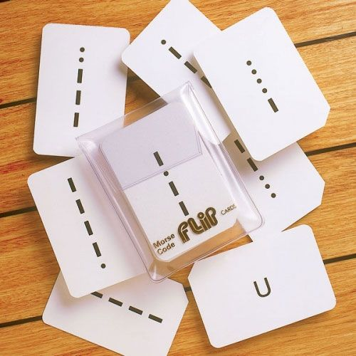
£12.99
36 cards showing the Morse symbol, both letters and numerals, with the back of the card giving the meaning. Also in the set is a useful instruction card. 37 cards in total.
Books
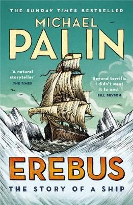
by Michael Palin
£10.99
Michael Palin tells the story of HMS Erebus whose fate remained a mystery for over 160 years. Then, in 2014, she was found. This is her story.
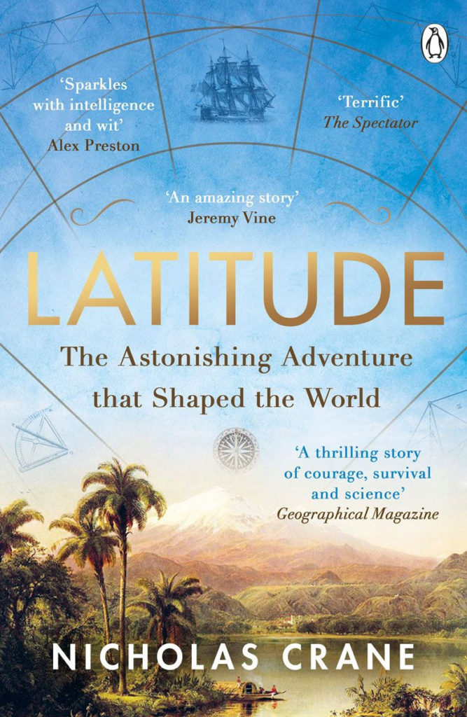
Latitude: The Astonishing Adventure that Shaped the World
by Nicholas Crane
£9.99
In 1735 12 unruly men boarded ships bound for South America to discover the true shape of the earth. Nicholas Crane tells the breathtaking tale celebrated today as the first modern exploring expedition.
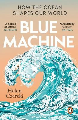
Blue Machine: How The Ocean Shapes Our World
By Helen Czerski
£10.99
Drawing on years of experience at the forefront of marine science, Helen Czerski captures the magnitude and subtlety of Earth’s defining feature, showing us the thrilling extent to which we are at the mercy of this great engine.
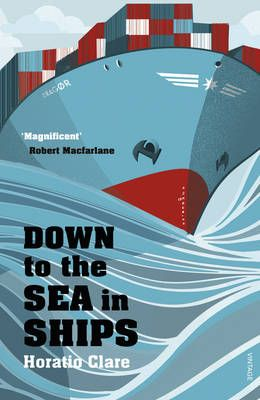
Down To The Sea In Ships: Of Ageless Oceans and Modern Men
By Horatio Clare
£9.99
Winner of the 2015 Stanford Dolman Travel Book of the Year. Horatio Clare joins two container ships on their epic voyages across the globe and experiences unforgettable journeys.
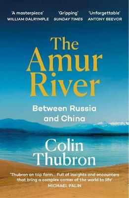
The Amur River: Between Russia and China
by Colin Thubron
£10.99
Winner of the 2022 Edward Stanford Travel Awards, Stanford Dolman Travel Book of the Year. Thubron takes a dramatic and often treacherous journey from the Amur”s secret source to its giant mouth, covering almost 3,000 miles
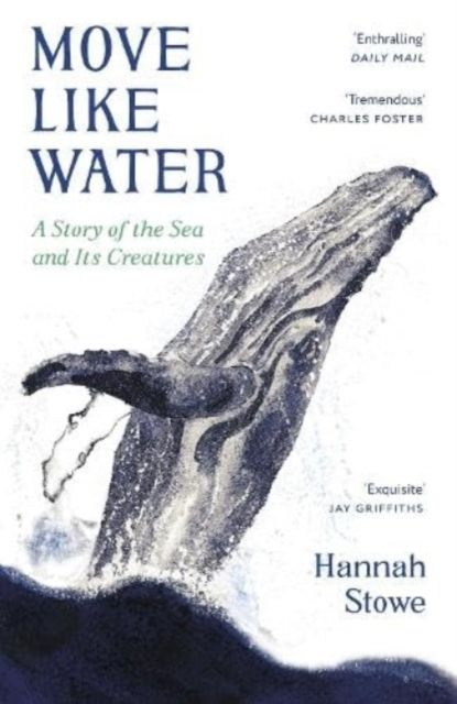
Move Like Water: A Story Of The Sea And Its Creatures
by Hannah Stowe
£10.99
Drawing on her expertise as a marine biologist and sailor, Stowe introduces us to six keystone marine creatures – encouraging us to fall in love with the seas as she has.
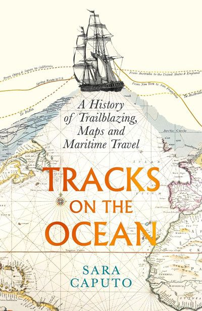
Tracks on the Ocean: A History of Trailblazing, Maps and Maritime Travel
by Sara Caputo
£30
Signed by the author. Sara Caputo tells the story of journey lines – from Ferdinand Magellan and Captain Cook’s routes across the South Seas, to the disorientating power of digital technology to reshape how we see our world

Troubled Water: A Journey around the Black Sea
by Jens Muhling
£10.99
Jens Muhling seeks to paint a picture of this cauldron of cultures and to understand the present against a backdrop of change stretching back to the arrival of Ancient Greek settlers and beyond.
£18.99
The Nautical Puzzle Book is packed to the brim with over 100 puzzles inspired by the National Maritime Museum’s objects and their stories.
Guides

Just Add Water: Over 100 ways to recharge and relax on the UK’s rivers, lakes and canals
£18.99
A guide to the many wellbeing activities, adventures and escapes that our inland waterways have to offer. Nearly 200 destinations are featured, organised into 15 core activities, covering the length and breadth of the UK.
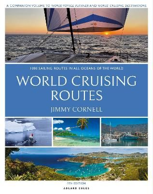
World Cruising Routes: 1,000 Sailing Routes in All Oceans of the World
£60
Long established as the bible for long-distance cruisers and a bestseller for more than 25 years, World Cruising Routes is the indispensable planning guide to nearly 1,000 sailing routes.
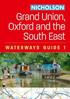
Grand Union, Oxford & the South East Collins Nicholson Waterways Guide
£16.99
The bestselling guides to Britain’s canals and rivers for more than 50 years. For all users of Britain’s inland waterways. This established, popular and practical guide covers the canals and waterways between London and Birmingham.
Charts
As well as being vital navigational tools that comply with Safety of Life at Sea (SOLAS) regulations and are ideal for professional, commercial and recreational use, maritime charts are also very detailed and beautiful and make wonderful gifts to remind someone of a special place. Here are just a few examples:
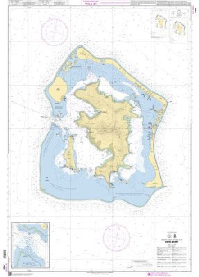
£32
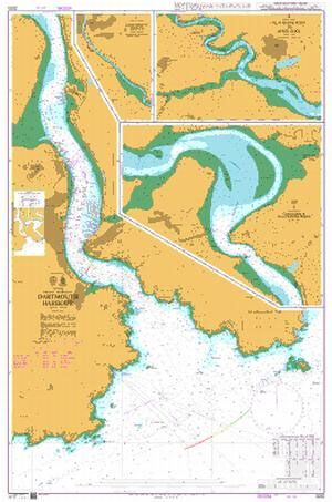
Admiralty Chart 2253 – England – South Coast, Dartmouth Harbour
£35
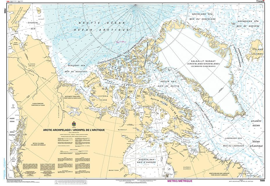
CHS Chart 7000 – Arctic Archipelago
£26
From the Stanfords Cartographic Archive:
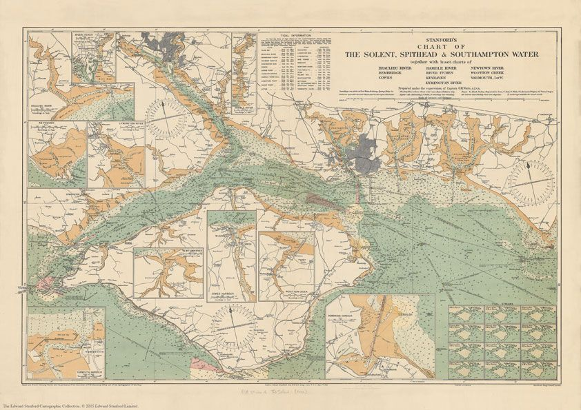
Stanford’s Chart of the Solent, Spithead and Southampton Water (1932)
Published in 1932, prepared under the supervision of Captain O.M.Watts, A.I.N.A.
This map shows the entire Isle of Wight and the surrounding coast line from Selsey to Milford on Sea with inset charts of Beaulieu River, Bembridge, Cowes, Hamble River, River Itchen, Keyhaven, Lymington River, Newtown River, Wootton Creek and Yarmouth.
This chart contains lots of tidal information and explanations. Soundings are given at low water ordinary spring tides in fathoms upon the general chart, and in feet upon the inserts.
Based upon British Admiralty Charts with the permission of the controller of H.M. Stationary Office and of the Hydrographer of the Navy. This beautifully detailed map will be appeal to anyone with nautical interests.
Buy a replica for £29.99
Print-on-Demand Nautical Charts

Did you know Stanfords is an official print-on-demand agent in the UK? As well as stocking thousands of charts, we are able to print thousands of charts covering millions of square nautical miles. The charts are printed in store and are correct to the latest notice to mariners.
As always, if you have any questions about what chart or guide you need, our experts are on hand to help. Drop us an email at [email protected] or give us a call on 020 7836 1321
If this has piqued your interest we send out a weekly maritime newsletter.