
To celebrate the paperback launch of the 2020 Edward Stanford Travel Writing Award winning Atlas of Vanishing Places by Travis Elborough, here is an extract for you all to read:
The word ‘vanish’ in English, meaning ‘to go, disappear or cease to exist’, derives from the Old French esvanir, which in turn comes from the Latin evanescere (to evaporate), a phrase we most readily associate with departing liquids. The roots of this volume arguably lie in the story of the demise of the Aral Sea in Uzbekistan, related in an earlier book, Atlas of Improbable Places. The Aral was once the fourth largest lake in the world; its waters teemed with enough flounder, catfish and saltwater carp to supply a sixth of the fish eaten across the whole of the USSR. But the decision taken in the 1950s to divert two of the region’s main rivers, the Amu Darya and the Syr Darya to irrigate land for cotton production radically reduced the amount of water flowing to the Aral Sea. Between 1960 and 1996, its water levels dropped by some 16m (521/2ft). By 2007, the sea had shrunk to 10 per cent of its original size and where fish had previously swum and trawlers bobbed about on the saline swell of the Aral’s waves there were now only dry expanses of salty sand, much of them riddled with harmful pollutants. There is little hope of restoring the Aral and its tragic fate is a direct consequence of deliberate human intervention in the local environment. If an extreme example, it is nevertheless indicative of the broader and unintended effects that our actions are having more generally on the planet. The evidence of what our continued dependency on fossil fuels and exploitation of scarce natural resources are doing to the world is plain to see. And all but scientifically irrefutable. Landscapes lost, or at least severely depleted, due to climate change induced rises in sea levels and altered weather patterns, unavoidably, and sadly necessarily, provide many of the entries in this atlas, a gazetteer of sorts, to places gone and going.
Here too, nevertheless are ancient sites and spaces that were erased from the maps in half-forgotten times past, only to resurface again – if usually, only as shadows of their former selves or as mere ruins. In either case, they inevitably serve as totems for the vanished civilizations and societies that first created them. Their very lost-ness is intrinsic to any kind of unearthing and resurrection they might subsequently have come to enjoy. And being found is part of the means for us to discover just how much, or what, has been mislaid over the centuries.
Old maps, though, can provide us with the chance to do a spot of time travel, journeying as our ancestors might have done through cities, kingdoms and whole empires that no longer exist. In some instances the charts are all that remain of the territories, their precise coordinates no longer mapping onto any recognizable part of the world today. Maps can also be a means for mourning, pored over wistfully, sometimes painfully, for what once was, and read as an act of remembrance for an irretrievable place and its former inhabitants.
More usually we look at maps to decide where to go in the future. They are often the first points of departure for somewhere new and more interesting, somewhere with different, and hopefully better, food, weather and scenery. And our internet-aided present puts once entirely unknown and enticing locations at our fingertips, only increasing, if anything, our appetites for places eerie, untouched and abandoned in the process. Distances in time and space are distorted beyond anything previously imagined in earlier cartography; on digital maps such as Google Earth the sense of global interconnectivity is palpable. And yet despite helping to make decayed buildings and cities highly Instagram-able, the actual physical reality of the earth’s immense and current and ever-pressing fragility can seem rather oddly intangible online. The screen and the swipe, if showing us more of the world, can somehow simultaneously shield us from the truth about its increasing vulnerability. What follows on tactile paper and in print, and through words and pictures, if even perhaps accessed digitally, is a survey of landscape and locations transformed by circumstances, some much disputed, or improbable and entirely unexpected; others, depressingly, almost grimly predictable. As such it ideally serves as a reminder of the mutability of existence but also a clarion call for the urgency of preserving what we hold dear for generations to come.
RIVER FLEET LONDON, UK
51° 30′ 51.0″ N / 0° 06′ 17.7″ W
If Angler’s Lane, a little street that curves off the main thoroughfare of Kentish Town, has any real claim to fame it is that for over a hundred years it was home to the largest false-teeth factory in Europe. The red brick and terracotta building that formerly comprised the premises of Claudius Ash & Co. ‘Manufacturers of False Teeth’ from 1840 until 1965, still dominates the lane, though it has long since been converted into apartments. Ash was a silversmith who initially supplied the wealthy, if toothless, with dentures made from precious metals before pioneering ‘mineral teeth’. This was an affordable alternative to the former and far more hygienic than other substitutes fashioned from wood or real human teeth extracted from both the living and the dead. But it was fishermen not false teeth that gave the lane its name. Before Victorian brickwork, paving and lead piping put paid to their sport, this quarter of north-west London was a haunt of anglers. Such rod wielders came to dip their lines and hooks in a freshwater fish-rich tributary of the River Fleet that flowed from its source in what was once the boggy, malarial marshlands of Hampstead down through what remained a largely pastoral Kentish Town and on into Camden Town and Kings Cross before passing by Clerkenwell to finally join the Thames at Blackfriars.
We still use the word ‘fleet’, which derives from the Old English fēotan meaning to ‘float or swim’ for a group of ships. But in Anglo- Saxon parlance it was also used quite specifically to refer to a tidal creek or inlet. For this reason, historically only the final part of the river was called the Fleet; its upper reaches were known as the Hole Bourne or Holborn (literally ‘a stream in a hollow’), the River of Wells and the Turnmill Brook – the latter name a nod to the many watermills, at least four by the thirteenth century, that were erected on that section of the river. By then, however, the Fleet was evidently serving as something of an open sewer. The river was already so contaminated that in 1236 Henry II granted the citizens of London the right to divert waters from the Tyburn River in Westminster to the City through leaden pipes ‘for the poore to drink’. In 1290 the White Friars, whose monastery lay to the west of the Fleet’s Thameside mouth, filed a complaint about the appalling stench of the river. The smell was so bad, apparently, that even the monks’ most pungent incense failed to mask it. The decision in 1343, to allow the butchers of Newgate Street to use one of the Fleet’s waterside wharves to cleanse entrails can scarcely have improved things. Nor could the profusion of tanners who appear to have begun setting up shop beside the river around the same period and used its tide waters to treat their animal hides.
Whatever unsavoury items were floating about in the Fleet, its surface was often crowded with small boats ferrying goods and people upstream from the Thames. Thirteenth-century documents record masonry being shipped up shore on the river for the construction of the medieval St Paul’s cathedral. Those seeking charity or treatment but too infirm or weak to walk were similarly conveyed to the doors
of the Priory of St Bartholomew’s Hospital, as were this medical establishment’s supplies of corn and hay. While wine bound for the Fleet Prison, the grim debtors gaol destroyed in both the Peasants’ Revolt of 1318 and the Gordon Riots of 1780, also travelled there by boat on its namesake. Among the other items conveyed in this manner include, in 1418, the stones for paving the streets of Holborn along with such victuals as oysters and herrings. Old Seacole Lane in modern Farringdon, meanwhile, memorializes the Fleet’s role in the transport of sea-coal from Tyneside to London.
Still, as the population living outside the City walls grew, so too did the amount of rubbish and sewage dumped into the Fleet. Cleaned out once in 1502, and again in 1606, it was blocked up entirely once more by 1652, with one contemporary observer noting that it was ‘impassable for boats, by reason of so many encroachments thereon made by the throwing of offal and other garbage by butchers, saucemen [a type of cook] and others by reason of the many houses of offices standing over upon it’. The lower part of the river was by this point also traversed by some five bridges, all of which, no doubt, offered further handily elevated vantage points from which to hurl stuff into the clogged water below.
However, during the blaze of the Great Fire of London in 1666, flames leaped from bank to bank incinerating wharves and houses on either side of the Fleet. In its wake, a new bridge was constructed over the river at Holborn to a design by Christopher Wren and in 1670 a scheme was undertaken (at some expense) to deepen and widen the river from this crossing to Blackfriars converting it into a new 15m (50ft) wide channel with capacious wharves. The 640 m (700yd) long Fleet Canal, as it was dubbed, proved financially unviable. What revenues the pitifully little traffic that brought it never offset its operating costs and it wasn’t long before the canal became almost as rubbish-ridden as before. In 1733, the City authorities cut their losses and erected an arch over it. Six years later the old Stocks Market was removed to make way for the city’s Mansion House building. A new market, the Fleet, was established on the archway where it remained until 1830 when this too was swept away by the laying for a new highway, Farringdon Road. Another victim of this highway would be the Fleet river itself, diverted underground into a pipe where it finally became a fully-fledged sewer, perhaps what it had been unofficially all along.
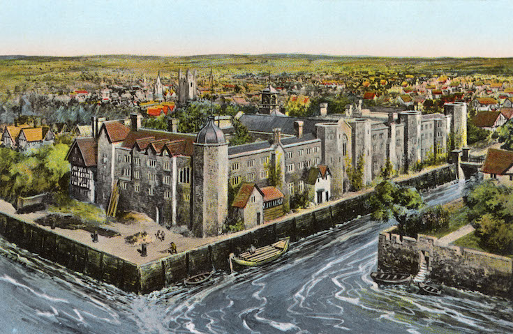

Atlas of Vanishing Places by Travis Elborough published by Aurum Press is available now for £9.99