
Planning your next big sailing adventure? We have some new products for the Atlantic Islands and coast of Portugal and Spain to help you plot your route in this amazing part of the world.
NV Charts ATL1,2,3 Chart Atlases
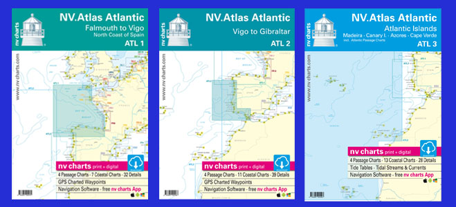
This new range of chart atlases will help you navigate safely all the way from Falmouth, through the Bay of Biscay and along the Iberian Peninsula. ATL3 atlas focuses on the Atlantic Islands of the Canaries, Azores, Madeira and Cape Verde. The atlases are compact A3 size, come in a protective plastic wallet and fit neatly on a chart table. You will also be able to download a digital raster copy of the charts on NVCharts own app suitable for Apple, Windows and Android devices. The atlases contain planning and coastal charts as well as many details for the ports and harbours along the way.
Atlantic Spain and Portugal by Henry Buchanan
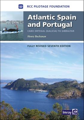
This Imray pilot is a definitive guide for this part of the world. Covering the coastline from Cabo Ortegal in Galicia all the way to Gibraltar it will provide you with all the practical information on approaching ports and harbours, safe places to anchor or berth, local spots great for resupplying, any regulations and hazards along the way.
Atlantic Islands by Anne Hammick & Hilary Keatinge
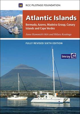
This detailed pilot guide covers Azores, Madeira, Canary Islands, Cape Verde as well as Bermuda. Whether you are planning a cruise around the islands or are planning a longer journey across the Atlantic, this guide is an invaluable source of information along the way. As well as details on approaching the harbours, it also includes chapters on route planning, weather, island history, regulations and taxes and suggested charts.
Cruising Guide to the Canary Islands by Oliver Solanas Heinrichs & Mike Westin
Whether you are visiting the Canaries on your way across the Atlantic, or if you are planning to stay longer and explore the area in more detail, this cruising guide is full of local sailors’ tips on the best harbours, marinas and anchorages.
Visit our Maritime Department online or at our London store to browse our range of worldwide cruising guides and charts. We are an official Admiralty, SHOM, NOAA and NGA chart agent and can source many more. Admiralty charts are also available to be printed on demand in store. Or drop us an email on [email protected] for any other information.