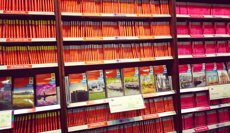
As it is National Map Reading Week, we thought we would take a look at our top 5 bestselling Ordnance Survey Maps of 2017 so far to see where you are all enjoying the great outdoors.
1. Purbeck & South Dorset – Poole, Dorchester – Weymouth & Swanage
OS Explorer Map OL15

The peninsula of Purbeck is made up of 60 square miles of sculpted shores, steep cliffs and sandy beaches – a perfect location for walking. If you like cycling there is the 47-mile trail around Purbeck.
Highlights of the area include: Kimmeridge, Chesil Beach, Brownsea Island, Dorchester, Weymouth, River Frome, Swanage, and Wareham.
2. Dorking, Box Hill & Reigate – Leatherhead & Caterham
OS Explorer Map 146
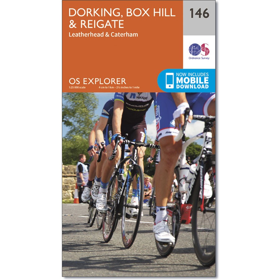
As you can tell by all the Lycra in the cover image, the Surrey Hills are favoured by cyclists. Box Hill and Leith Hill often feature in cycling rides. It is also a popular destination for walkers and wildlife enthusiast.
Highlights of the area include: Surrey Hills AONB, the E2 Path and the North Downs Way.
3. English Lakes South Eastern: Windermere, Kendal & Silverdale
OS Explorer Map OL7
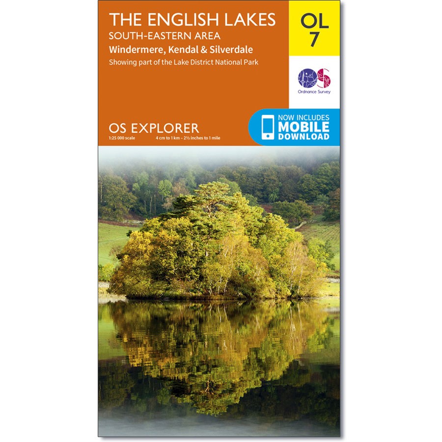
At 10.5 miles long, Lake Windermere is the largest of the English Lakes and a perfect spot for all kinds of water sports and lakeside rambling. Kendal is home to the hikers’ favourite, Kendal Mint Cake.
Highlights of the area include: Windermere, Orrest Head, The Dales walk, Kendal, Shap Fells, and Silverdale.
4. Peak District White Peak – Buxton, Bakewell, Matlock & Dove Dale
OS Explorer Map OL24
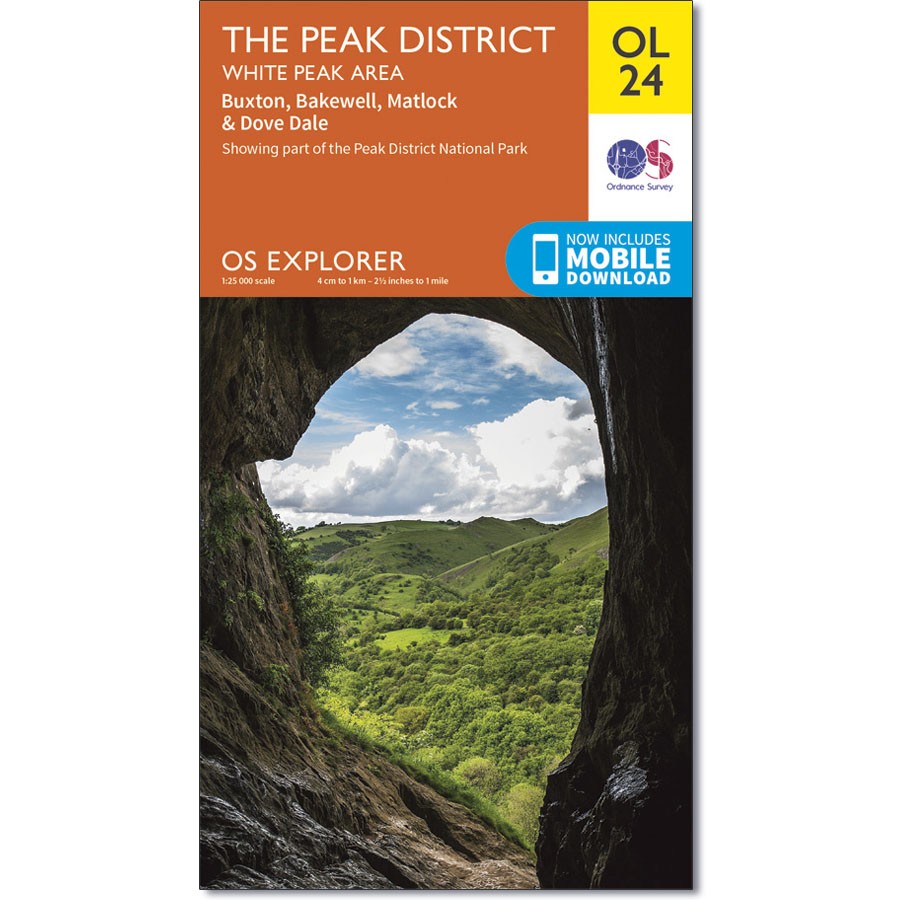
This part of the Peaks is full of fascinating caves and dry river valleys to explore. The 25-mile long White Peaks Challenge is popular among walkers. Climbers use the town of Stoney Middleton as a base before taking on such climbs as ‘Our Father’, a challenging climb up Windy Buttress. It would be a crime not to treat yourself to one of Bakewell’s legendary tarts.
Highlights of the area include: Castle rock, Middleton Dale, Derbyshire Dales, The Roaches, Buxton, Bakewell, Matlock, Dovedale, Chatsworth House, limestone caves, and the thermal springs at Middleton Stoney.
5. Brighton & Hove – Lewes & Burgess Hill
OS Explorer Map OL11
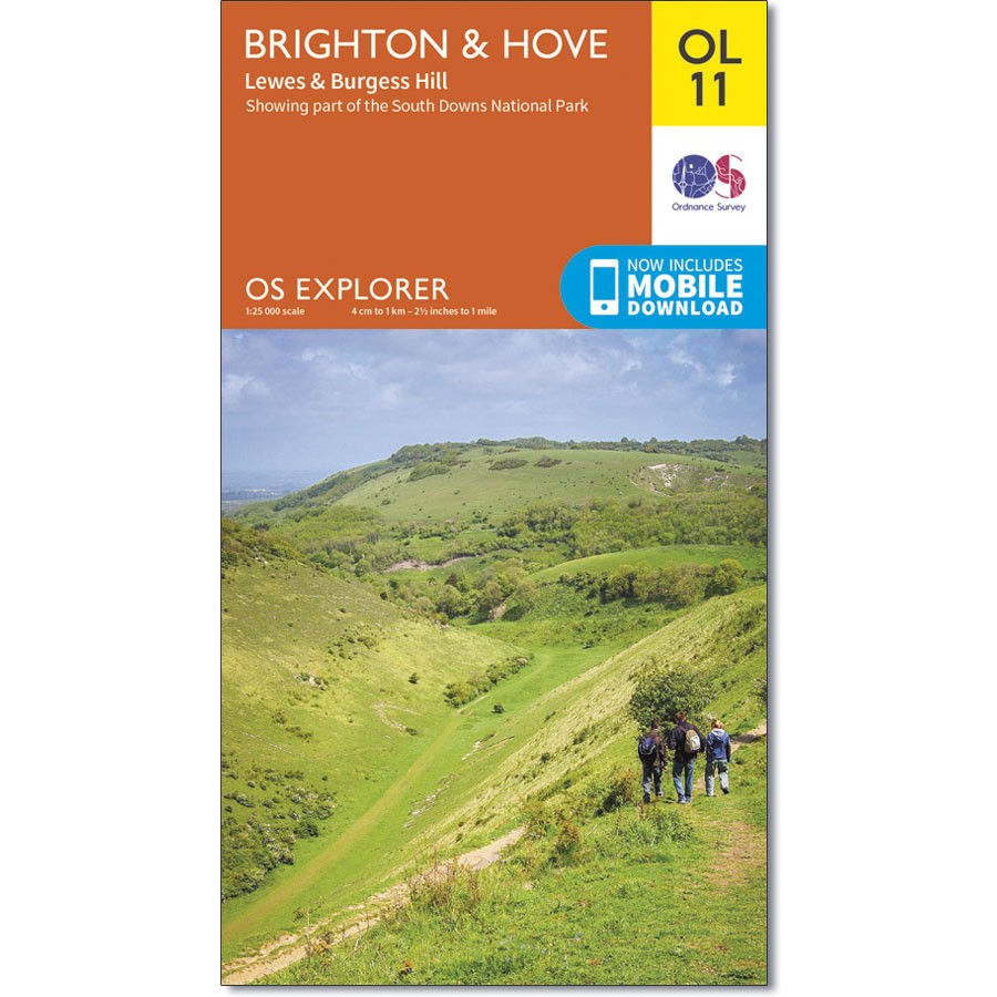
Brighton Pier is the ideal place for the traditional English seaside experience. Also in this area are the sand dunes and secluded bays near Shoreham-by-Sea and the picturesque village of Steyning offers a perfect base for discovering the Lower Weald and South Downs. If you want views, the top of Ditchling Beacon is the highest point in East Sussex.
Highlights of the area include: Lewes, the South Downs, Ditchling Beacon, Brighton Pier, The Brighton Pavilion, and the South Downs Way.

Need a map? Our Ordnance Survey Map Search lets you choose your own path and select your destination.
 To mark National Map Reading Week, Ordnance Survey will be hosting a Facebook Live Q&A at Stanfords with Mary-Ann Ochota, author of Hidden Histories on Thursday- 19 October, 12pm. Find out more.
Even if you can’t make the Live event you will be able to watch them all on the Ordnance Survey Facebook page afterwards.
For more tips on map reading, see National Map Reading Week.