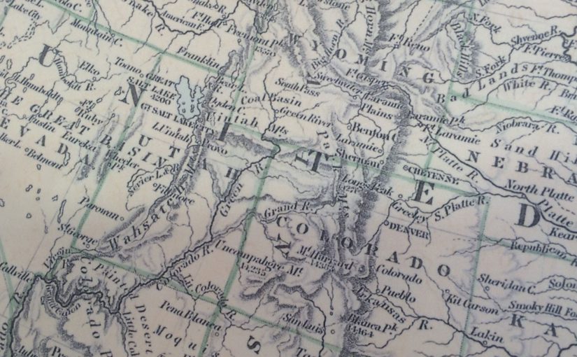
To celebrate 4th July we’ve delved into the Edward Stanford Cartographic Collection archive and found this interesting 1884 map of North America.
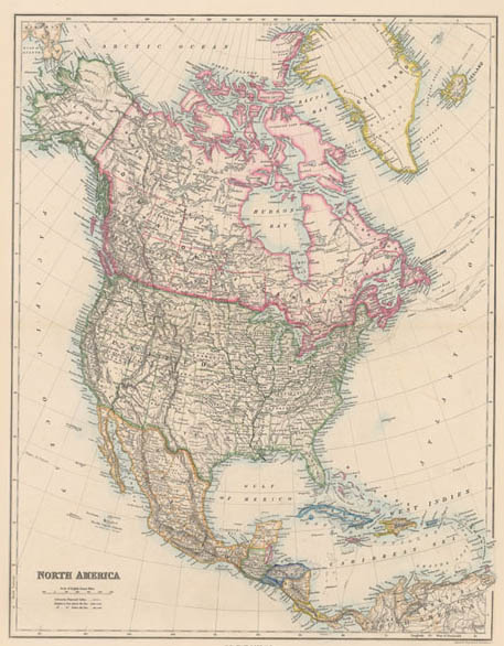
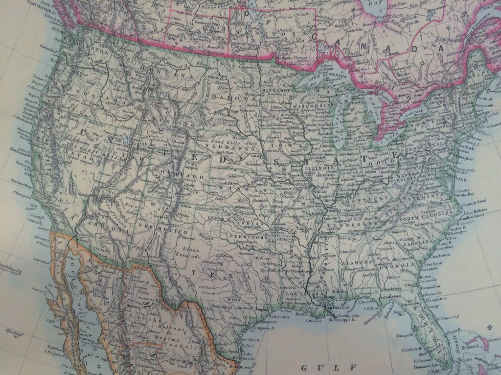
All the states which acceded to the Union after the map’s publication date are already there, but with the Dakotas as one state and Oklahoma shown as the Indian Territory and its panhandle as separate Public Lands.
Reproductions of the Stanford’s Folio North America Map (1884) are available on Paper or canvas in different sizes from £10.00 here.